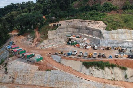
Our Services
We offer a range of services in the geomatics sphere. All our services are tailor made to meet the specific needs of all our different clients in their different industries.
_
Construction Surveys
_
Earthworks
- Road Rehabilitation Projects
- Platforms and Terraces
- Tailings Storage Facilities
- Pollution Control Dams
- Drainage Systems
- Laying out of municipal services
- Aggregate Volume Calculations
- Pre-Construction Verification
Civils
- Concrete foundations
- Ore Processing Plants
- Retaining Walls
- Highrise Buildings
- Residential Buildings
- Warehouses and Workshops
- Conveyors
- Silos
- Structures that require holding down bolts
- Concrete drains
- Silt Traps


Mining Surveys
_
Whether surface or underground, our mining surveys are designed to deliver precise, safe and cost-effective results.
Underground
- Direction Peg Installation
- Grade and Centerline staking out
- Mining Layouts
- 3D/2D As-builts
- Cavity Monitoring/Scanning
- Long haul Stope Mining
- Grade Control Drill Holes
- Staking Out Drill Patterns
- Mine Survey Plans Update
- Month End Measurements and Reports
- Check Surveys
Surface
- Stockpile Measurements and Volume calculations
- Month-end Ore Reconciliation
- Surface Infrastructure As-Builts
- Blast Patterns setting out
- Cut/Fill slope monitoring
- Topographic Surface Plan Updates
- Tailings Storage Facilities surveys and monitoring
- Installation of Survey Beacons
- Installation of Survey Beacons
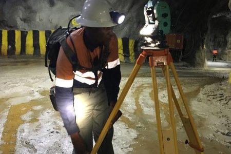
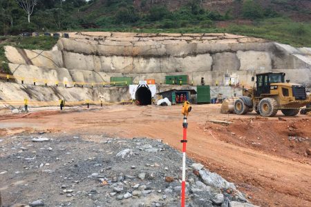
Monitoring and Deformation Surveys
_
We use advanced technology to monitor structural movement and ensure safety and reliability in slops, walls and dams.
- High Wall Monitoring
- Cut/Fill Batter Slopes
- Retaining Wall Monitoring
- Dam Wall Monitoring
- Cavity Monitoring

Engineering Surveying
_
Surveys associated with the engineering design by professional civil engineers (Topographic, Layouts, DTM and As-Built) often requiring geodetic computations beyond normal civil engineering practise.
Below are some of the services we offer in this category:
- Topo surveys for civil engineering design purposes
- Topo surveys for Architectural design purposes
- Topo surveys for mine design purposes
- Digital Terrain Models